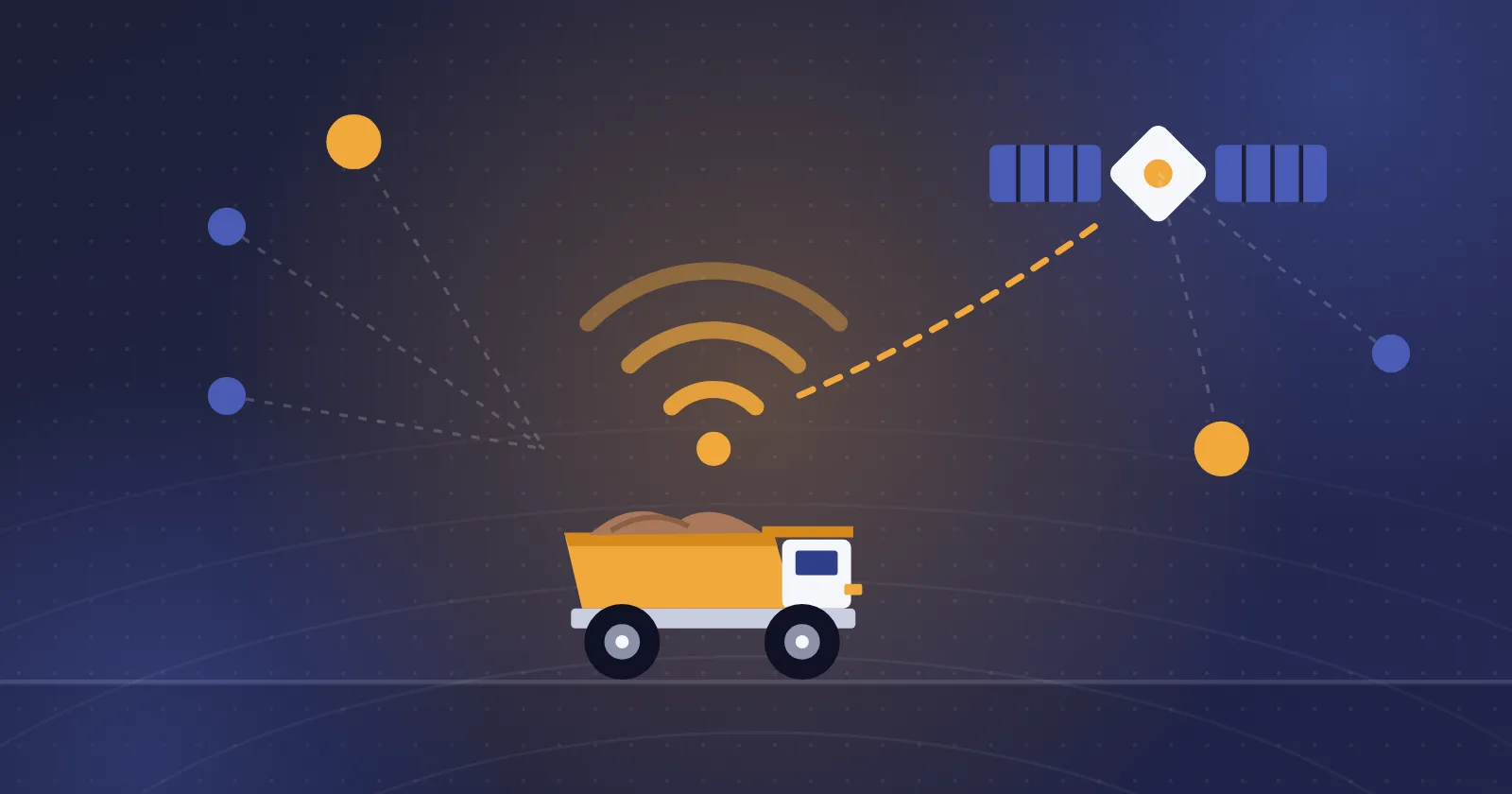
Managing machines in an open-pit mine without accurate information on equipment position, activity and performance brings many challenges. Dozens of haul trucks, shovels, loaders and support machines may be working at the same time, yet operations managers may lack a complete picture of how that equipment is being used.
For example, knowing that a haul truck was on shift does not, on its own, tell you how long it was active, which route it took or how much of its time it spent stopped.
Mining equipment telematics uses positioning, communication and data collection technologies to record and analyse part of this information.
It helps mine managers review machine movement and stops, activity patterns, operating hours and, where technical data is available, some equipment performance parameters.
This article explains what telematics is, how it works, the most important data it can collect and the role of this information in managing open-pit mining fleets.
What is mining equipment telematics?
Telematics is the combined use of communication, positioning and information processing technologies to collect and transmit machine data.
Information is received through devices installed on the machine or its onboard electronic systems and sent to a platform for storage, display and analysis.
In open-pit mines, telematics can be used to monitor haul truck movement, review loading equipment activity, record stops and analyse equipment usage patterns.
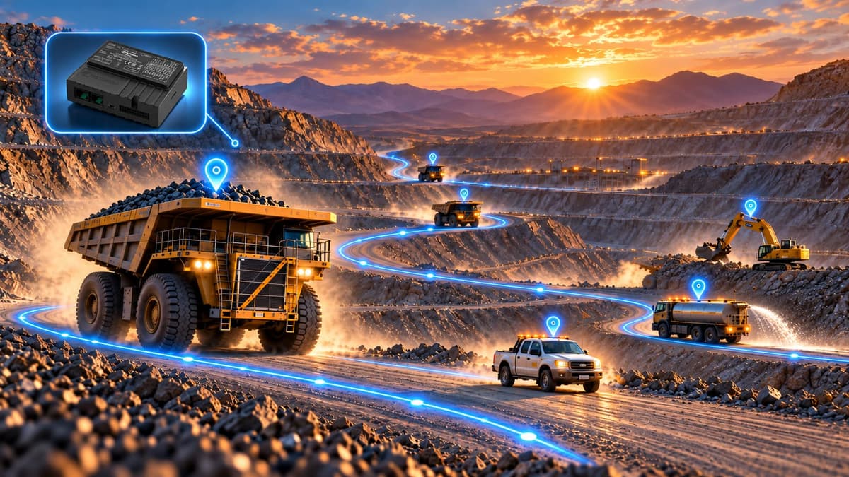
For example, a telematics system with a positioning device can record the route a haul truck takes during a shift. Analysing this data reveals where long stops occur, travel time between points in the mine and traffic patterns.
When this information is combined with engine data or operational systems, a more detailed analysis of machine performance becomes possible.
What is the difference between telematics and telemetry?
Telemetry refers to measuring information from a piece of equipment and transmitting it to another system.
Telematics usually covers a broader set of positioning, communication, data processing and management applications.
Put simply, telemetry can be one component of a telematics infrastructure.
For example, sending engine temperature data from a haul truck is telemetry. Combining location, operating hours, engine data and management reports in a fleet monitoring platform falls within telematics.
How does a telematics system work in a mine?
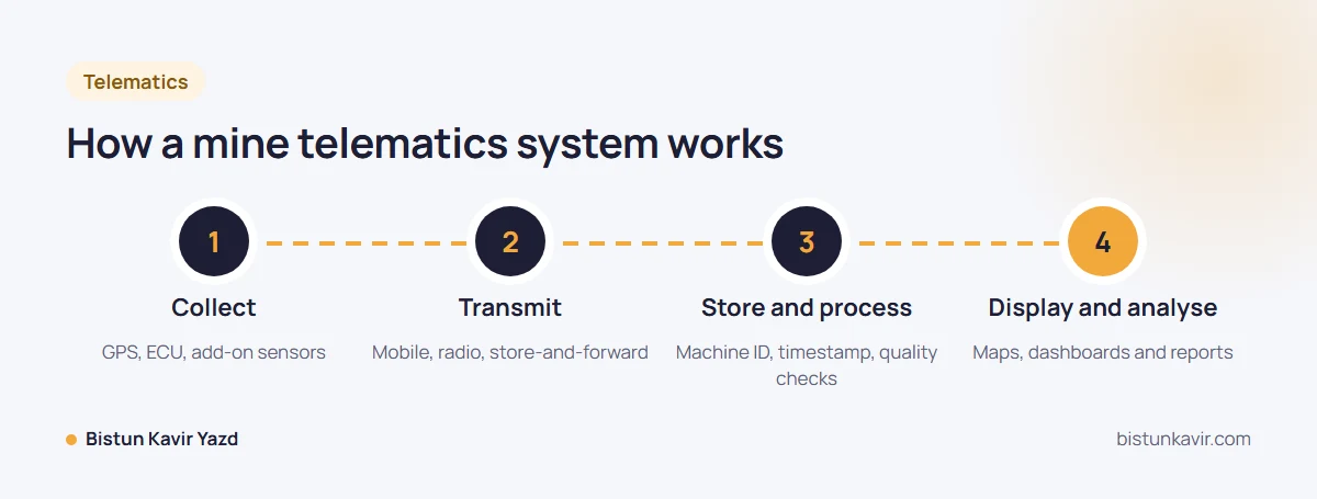
A telematics system usually consists of data collection devices, communication infrastructure and software for processing and displaying information.
The type of equipment and data transmission method depend on the machine models, system features and the mine's communication conditions.
Step 1: Collecting data from machines
At this stage, the required information is received from various sources.
A positioning device can provide geographic coordinates, estimated speed and the time each position was recorded.
On machines with suitable technical access, information such as engine hours, fuel consumption or fault codes may also be received from electronic controllers.
Some equipment also needs add-on sensors to measure specific parameters.
Step 2: Transmitting information
The collected information is sent to a server or data management system through the communication infrastructure.
Depending on site conditions, this can be done over a mobile network, a dedicated wireless network or other communication methods.
In open-pit mines, changes in pit depth and geometry, long distances between machines and limited network coverage can make data transmission difficult.
Some architectures use local storage and send the data once the connection is restored.
Step 3: Storing and processing data
Received information must be stored and processed together with the machine ID and timestamp.
Invalid, duplicate or incomplete data must also be identified at this stage so that the analysis can be trusted.
For example, a sudden jump in GPS coordinates may produce an unrealistic speed. Without data quality control, such an event can distort the machine's performance report.
Step 4: Displaying and analysing information
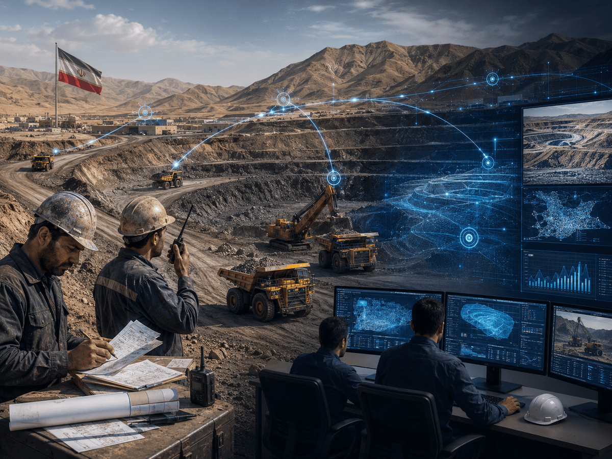
In the final stage, data is presented as maps, charts, reports and management dashboards.
Mine managers can use this information to review fleet activity, compare shift performance and identify areas that need corrective action.
What data is collected from mining equipment?
The information that can be collected depends on the level of equipment and telematics features.
A GPS-based system may record only location and movement, while a system connected to machine controllers can access more technical data.
| Data type | Information available | Use |
|---|---|---|
| Location | Recorded coordinates and position of the machine | Tracking and route analysis |
| Speed | Speed at different times | Reviewing traffic patterns |
| Stop status | Location and duration of stops | Identifying waiting points |
| Engine hours | Recorded engine running time | Scheduling services |
| Idle time | Time the engine runs without effective movement or work, as defined by the system | Analysing non-productive time |
| Fuel consumption | Recorded or estimated consumption | Energy and cost analysis |
| Fault codes | Events logged by the machine controller | Reviewing technical condition |
| Distance travelled | Total distance moved | Traffic and route analysis |
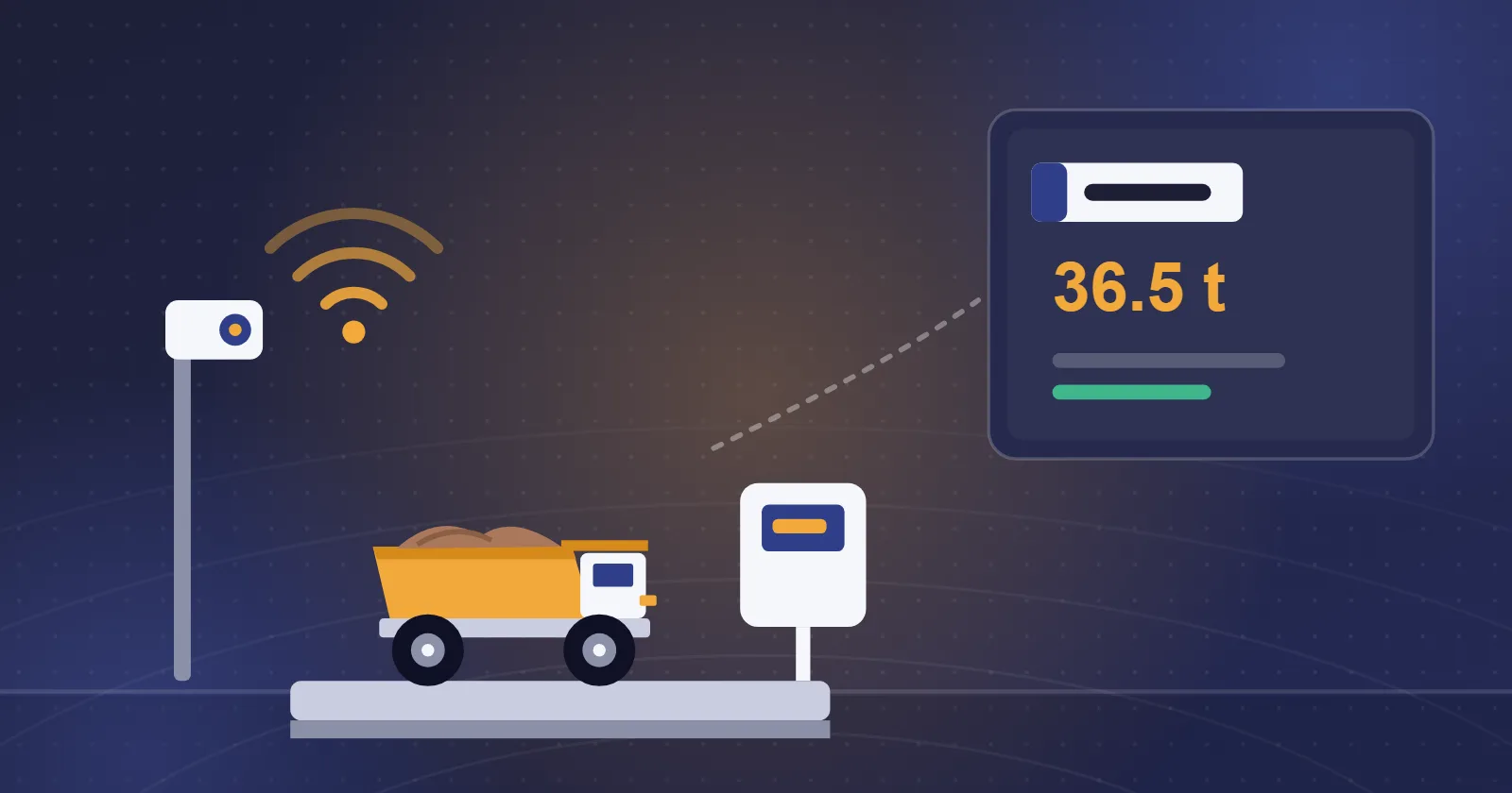
| Payload | Loading information on compatible equipment | Reviewing haulage performance |
Not all of this information is necessarily available in one system or on every machine.
For example, a reliable fuel consumption figure requires suitable engine data or measuring equipment and cannot be derived from GPS position alone.
Likewise, telling whether the engine is running from a stationary position alone is not always reliable without engine status or a suitable sensor.
1. Tracking machine position in open-pit mines
One of the main uses of telematics is recording and displaying the position of mining machines.
In an open-pit mine, trucks may run on several haul roads while loading equipment is stationed at different points.
Knowing where equipment is helps operations staff get a clearer picture of how the fleet is distributed across the mine.
Tracking haul truck routes
Location data makes it possible to reconstruct the routes machines have travelled.
Reviewing this data shows which routes trucks took, how long they spent on each and where they stopped.
For example, if part of the fleet consistently uses a longer route to reach a destination, the reason for that route choice may need investigating.
The shortest route is not always the best one, however. Safety restrictions, road gradient, route capacity and the haulage plan must be considered in the analysis.
Geofencing
Another use of location data is defining virtual geographic zones.
For example, the area of a stockpile, refuelling point or specific part of the mine can be defined in the system.
In systems that support geofencing, a machine entering or leaving these zones can be recorded as an event.
This information is useful for reviewing traffic and analysing machine activity, but on its own it does not replace specialist safety, collision avoidance or access control systems.
2. Identifying unnecessary machine stops
A stopped machine does not always mean a breakdown.
A truck may be in the loading queue, waiting to dump or may not have received a new task after finishing the last one.
Telematics data can record where and how long machines stop and reveal recurring patterns.
For example, if several trucks stop near one shovel at certain times of the shift, the pattern may indicate a loading queue.
To determine the cause of a stop with certainty, however, location data must be combined with operational status information.
Stationary time versus engine idling
Stationary time is when a machine stays in one position or a very small area.
Engine idling refers to the engine running under defined conditions without doing effective work.
The two are not the same.
A truck may be stationary with its engine switched off. A shovel, meanwhile, can be loading while staying in one place.
To analyse non-productive time correctly, the machine type and information on engine status and activity must be taken into account.
3. Analysing operating hours and equipment utilisation
One of the key issues in fleet management is telling the difference between a machine being on shift and its capacity actually being used.
For example, a loader may be on site throughout a 12-hour shift but spend only part of that time on operational work.
Where valid data exists, telematics records can help separate engine running hours, travel time and some activity states.
Calculating the idle share
One indicator for equipment with engine data is the ratio of idle time to total engine running hours.
Idle share (%) = (idle hours ÷ total engine running hours) × 100
For example, suppose a truck's engine ran for 10 hours during a shift and 2.5 hours of that was recorded as idling.
The idle share is then 25 percent.
This means a quarter of the engine running time was spent in the state defined as idling.
To judge whether that time was unnecessary, operating conditions and the machine's technical instructions must be reviewed.
4. Reviewing haul road performance
In open-pit mines, haul roads determine a large part of fleet performance.
Changes in the mining face, road conditions, haul distance and traffic can change truck travel times.
Telematics data can be used to analyse travel time across different road sections and identify points of delay.
For example, if trucks take longer to pass a section of road over several consecutive shifts, factors such as traffic density, road surface damage or crossing restrictions may be involved.
Reviewing location data alongside operations and road maintenance reports helps pinpoint the cause.
Can telematics calculate haul cycle time?
In some cases, yes, but the accuracy depends on the available data.
If the times machines enter and leave loading and dump points are recorded correctly, round-trip time and part of the haul cycle can be estimated.
Separating loading, waiting, dumping and travel accurately may, however, require operational events or additional sensors.
For example, a truck being within the shovel area does not necessarily show whether it is queuing or already being loaded.
Accurate haul cycle calculation should therefore be based on clearly defined operating stages and the quality of available data.
5. Reviewing fuel consumption with telematics data
On compatible equipment, telematics data can provide information on fuel consumption or engine hours.
Combining this with routes, operating conditions and payload hauled helps analyse the factors behind consumption.
For example, if a truck's fuel use rises over several shifts, check whether its operating hours, haul route or loading conditions have changed.
That is why fuel consumed alone is not a sufficient basis for comparing machine efficiency.
Indicators such as litres per operating hour or litres per tonne give more precise information, where reliable data is available.
Telematics data can also complement information from Bistun's fuel management system. The two areas do not play the same role, and linking their data depends on infrastructure and implementation capabilities.
6. Supporting equipment maintenance
Another use of telematics is providing the information needed to plan maintenance.
Engine hours are one of the most important data points for scheduling periodic equipment services.
In systems that can receive technical data, information such as fault codes or some performance parameters can also be used to review machine condition.
For example, a recurring fault code may indicate the need for a technical inspection.
Telematics data alone is not enough to diagnose every mechanical problem or predict failures, however.
Advanced condition monitoring programmes may require specialist data and systems such as a Vehicle Health Monitoring System (VHMS).
7. Supporting traffic monitoring and operational safety
Location and movement data can help review fleet traffic patterns.
For example, analysing speeds in specific parts of the mine may show that some machines exceeded the set limit on busy roads.
Systems that support zone definitions and speed rules can record such events.
Reviewing where light and heavy vehicles travel can also inform route revisions and traffic management.
GPS data has important limitations, however. Positioning errors, transmission delays and the interval between recorded points can affect the accuracy of the analysis.
A telematics system should therefore not be treated as a substitute for specialist collision avoidance or machine safety equipment without technical approval and safety requirements being met.
Worked example: analysing telematics data for a mining fleet
To illustrate how telematics data can be used, consider a hypothetical scenario of eight haul trucks in an open-pit mine.
Suppose engine running hours and idle time have been recorded for these machines.
In the first period, each truck averaged 10 engine hours and 2.4 hours of idling.
After reviewing stops and adjusting some operating processes, data for a second period is recorded.
| Indicator | Period 1 | Period 2 |
|---|---|---|
| Number of trucks | 8 | 8 |
| Total engine running hours | 80 hours | 80 hours |
| Average idle time per truck | 2.4 hours | 1.6 hours |
| Total idle hours | 19.2 hours | 12.8 hours |
| Idle share | 24% | 16% |
In this example, total fleet idle time fell by 6.4 machine-hours.
This change may indicate that some non-productive activity has been reduced.
To determine the economic and operational result, however, information such as fuel used while idling, tonnage hauled and operating conditions in both periods must be reviewed.
Less idle time does not necessarily mean a proportional increase in production or decrease in total fuel use.
This example only illustrates the analysis method; its results do not come from a real project or the recorded performance of Bistun products.
What is the difference between GPS, telematics and mine dispatching?
These three concepts are related in fleet management but should not be treated as the same thing.
GPS and GNSS
GPS is one satellite positioning system, while GNSS is the broader term for satellite navigation systems.
These technologies are used to determine position, time and, under suitable conditions, equipment movement.
GPS alone provides no information on why a machine stopped, the engine's technical condition or the machine's output.
Telematics
Telematics uses positioning and other available data to record, transmit and analyse equipment status.
Depending on the system, the data may include position, route, speed, operating hours, fuel consumption or technical condition.
Mine dispatching
Dispatching concerns managing and coordinating machines' operational tasks, especially in loading and haulage.
It involves decisions such as assigning trucks to shovels, choosing haul destinations and revising tasks according to mine conditions.
Telematics data can be an input to a dispatching system, but recording data and showing positions does not, on its own, amount to automated fleet assignment.
| Technology | Main role |
|---|---|
| GPS / GNSS | Positioning and movement data |
| Telematics | Collecting, transmitting and analysing equipment data |
| Fleet Dispatching | Assigning and coordinating operational tasks |
| VHMS | Monitoring information on machine technical health |
In an integrated smart mine architecture, these technologies can be used together while each keeps its own distinct function.
Challenges of implementing telematics in open-pit mines
Despite the benefits of telematics data, implementation quality has a big impact on its usefulness.
Network coverage and data transmission
In open-pit mines, changes in pit depth, long distances between machines and terrain can create areas with no coverage.
If the system does not have a suitable store-and-forward method, part of the machines' activity records may be incomplete.
The communication infrastructure should therefore be designed around the mine's real conditions.
Positioning quality and accuracy
The accuracy of location data can be affected by signal reception, positioning equipment and processing method.
For uses such as detecting entry into a zone or calculating stop time, location accuracy and the recording interval must suit the purpose.
Variety of mining machines
Many mines run machines of different brands, models and years of manufacture.
Some machines have advanced controllers and communication ports, while older equipment may not be able to provide much technical data.
The level of information that can be collected is therefore not necessarily the same across all equipment.
Data quality and integration
Collecting data is only valuable if the information is accurate, comparable and available to the units responsible.
If event timestamps are not synchronised, machine IDs are poorly defined or operating states are recorded in different ways, analysis becomes difficult.
Access control, transmission security and data ownership must also be considered in the system design.
ISO 15143-3 and machine data exchange
One important issue in managing mixed-brand fleets is the ability to exchange data between systems.
The technical specification ISO/TS 15143-3:2020 defines a framework for exchanging telematics data from earth-moving and road construction machinery, from the provider's server to the software that consumes the information.
The standard helps harmonise how specific equipment data is received from different sources.
Information such as machine location, operating hours, fuel used and some performance data can be used in compatible systems.
Standardising the exchange method does not, however, mean equal access to all information from every machine.
The data available depends on equipment capabilities, provider access, technical permissions and the system's level of compatibility.
How do you turn telematics data into operational decisions?
Having a large volume of data does not on its own improve mine performance.
To use telematics effectively, managers first need to define the main operational problems.
For example, if the goal is to reduce unnecessary stops, the duration and location of stops must be measured. Recurring patterns can then be reviewed and possible causes identified.
Next, a corrective action such as revising machine assignments or reviewing the haul route is carried out.
After the changes, the same indicators are measured again to see what effect the action had.
This cycle, from data capture to analysis and evaluation of results, is an important part of data-driven management in smart mines.
The role of BitaTracker in monitoring mining equipment
Bistun Kavir Yazd, a knowledge-based company, develops smart mining systems, equipment tracking and mining operations management solutions.
BitaTracker is one of Bistun's products for tracking and monitoring mining equipment activity.
Focusing on information such as machine position, routes, speed and stops, it falls within the field of fleet monitoring.
Position and movement data can be used to review equipment traffic patterns, identify stopping points and assess how machines are used within the mine.
How does BitaTracker differ from BiSmart?
In Bistun's product portfolio, BitaTracker and BiSmart play distinct roles.
BitaTracker focuses on tracking and information about machine activity and movement.
BiSmart, by contrast, covers operations management, monitoring and dispatching for open-pit mines.
In other words, data recorded by tracking systems can be one source for operational decisions, but managing tasks and assigning the fleet requires further processes and capabilities.
To review BitaTracker's features and how well it suits your mine, see the Bistun BitaTracker system page and request technical advice.
What should you check when choosing a mining telematics system?
The right system should be chosen based on the mine's operational needs, not just the number of software features.
For example, a mine whose main need is tracking machines and recording stops may require different infrastructure from a mine that also wants to analyse engine and hydraulic data.
Before choosing, define the machine types, data required, network coverage, positioning accuracy and data storage method.
Data export options, reporting quality, user management and the level of technical support are also important.
For machines from different brands, technical compatibility needs to be checked model by model.
Finally, the result of implementation is best evaluated against measurable indicators such as data capture quality, fleet coverage, ability to detect stops and how the information is used in decisions.
Frequently asked questions about mining equipment telematics
What is mining equipment telematics?
Telematics is a set of technologies for collecting, transmitting and analysing equipment information. In open-pit mines it is used to record position, routes and stops and, in equipped systems, to review some technical and operational machine data.
What is the difference between GPS and telematics?
GPS is a positioning technology, while telematics can combine positioning with communications, other machine data and management reports. GPS is therefore one of the information sources used in telematics systems.
Can GPS measure a haul truck's fuel consumption?
No. GPS position data alone does not reveal actual fuel consumption. Reliable measurement or estimation requires access to suitable engine data, sensors or other data sources.
Can telematics record machine stop time?
Yes. Systems that record position and time can identify stationary periods. Determining the cause of a stop or whether the engine was running may require more data.
Is telematics the same as a mine dispatching system?
No. Telematics focuses on collecting and analysing equipment data, while dispatching concerns managing tasks, coordinating machines and assigning the fleet.
Can telematics be fitted to older machines?
In many cases, add-on tracking devices can be used. Access to engine and other technical data depends on the machine model, its electronics and equipment compatibility.
Does telematics increase mine productivity?
Telematics can provide the information needed to identify problems and make better decisions. Productivity gains depend on data quality, analysis and the corrective actions taken; installing a system alone does not guarantee a specific result.
Conclusion
Telematics data plays an important role in increasing operational transparency and information-driven management in open-pit mines.
Recording machine position, routes, stops and operating hours can help managers understand fleet usage better and identify areas that need attention.
With access to more technical and operational data, issues such as fuel consumption, equipment maintenance and haul cycle performance can also be analysed.
The real value of telematics, however, lies not in collecting large volumes of data but in turning reliable information into actionable operational decisions.
Bistun Kavir Yazd, a knowledge-based company, works in mining fleet digitalisation and smart management through products such as BitaTracker for equipment tracking and monitoring and BiSmart for operations management and dispatching.
To learn more about equipment monitoring solutions, see the Bistun BitaTracker page.